2020 VIRTUAL IMW
Introducing the very first Virtual Indigenous Mapping Workshop. For the first time ever, IMW participants can develop their skills, with cutting edge geospatial technologies, from anywhere around the globe. Learn to redefine Indigenous landscapes from Indigenous mapping experts. Develop hands-on skills from leading industry professionals including Esri, Google, NASA, Mapbox and more. Join the Indigenous Mapping Collective and have unprecedented access to all IMW course materials and exclusive new content posted throughout the year.
REGISTRATION CLOSED
Thank you for your interest in the 2020 Indigenous Mapping Workshop. We have been astounded by the interest in our first virtual event. Unfortunately, we have closed registration due to meeting our participant limit. If you have any questions, please reach out to our team.
+100
Sessions
Over 100 technical training sessions from Google, Esri Canada, QGIS, Mapbox, and other technology partners
+40
Speakers
+500
Participants
Over 500 participants from Indigenous Nations and organizations, universities, government, and private sector
PRICING
#2020IMW
November 16-18, 2020 | FREE EVENT
The 2020 Virtual Indigenous Mapping Workshop is FREE for all participants. Over the year, we have have worked on new approaches to enhance and expand our geospatial capacity development opportunities for Indigenous Nations and organizations. With the 2020 Indigenous Mapping Workshop, we are excited to launch the Indigenous Mapping Collective. The Indigenous Mapping Collective is the indigenized space for Indigenous geospatial technology, training, and community. Members will have exclusive access to Indigenous mapping content, workshops, live and self-paced courses, speaker series, and tools. Join us in building our new community!
Mapping is about identity and maps are a really powerful tool for being able to convey your place on the earth. The power of the cartographer is to decide what goes on to the map and what gets excluded from the map. For far too long Indigenous Peoples have been excluded from the map. The whole idea of the Indigenous Mapping Workshop is really about demarcating the map and being able to reclaim space while designing maps that are more culturally relevant and have Indigenous identity.
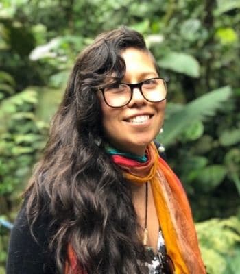
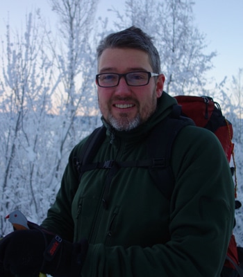
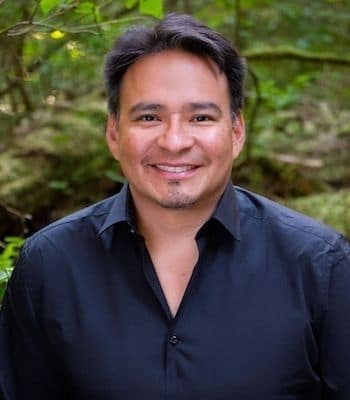
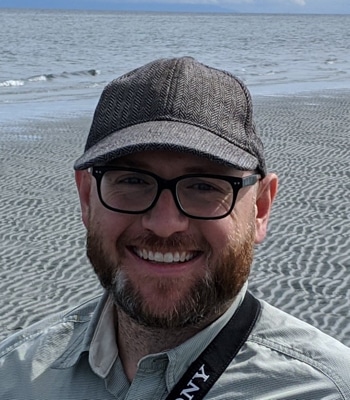
SPEAKERS AND TRAINERS
The Indigenous Mapping Workshop is proud to present passionate and talented speakers and trainers from around the world who use geospatial technologies in creative and innovative ways to promote Indigenous rights and interest.
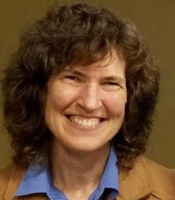
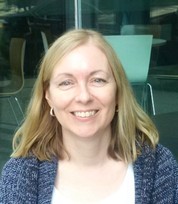
Dr. Cynthia Annett
Research Associate Professor
Kansas State University
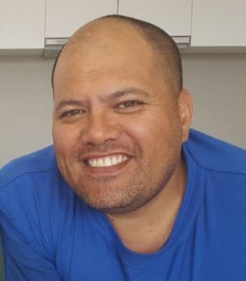
Moka Apiti
Director
Digital Navigators

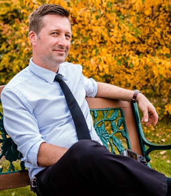
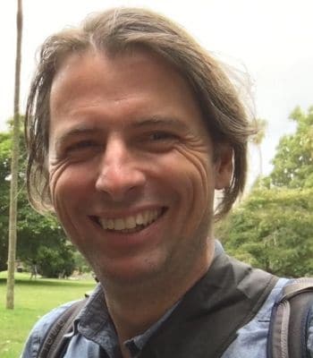
James Ashton
Geomatics Manager
Agriculture Agri-Food Canada
Derek Bogdan
GIS Analyst
Agriculture Agri-Food Canada
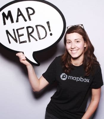
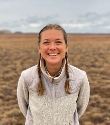
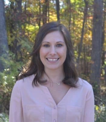
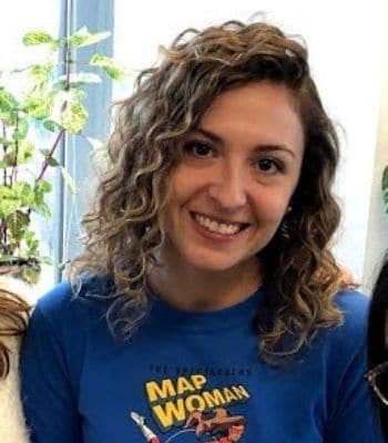
Marena Brinkhurst
Community Map Team
Mapbox
Jen Castro
Programme Coordinator
Digital Democracy
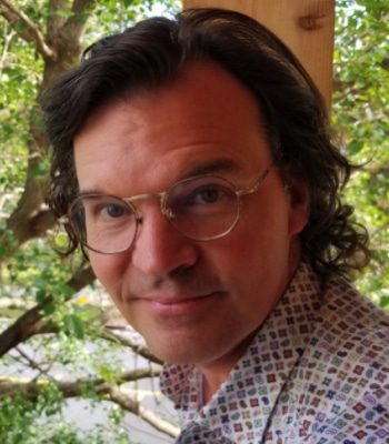
Dr. Jon Corbett
Associate Professor
University of British Columbia Okanagan
Steve DeRoy
Director
The Firelight Group
Nolan Flegel
Geomatics Cloud Technician
Agriculture Agri-Food Canada
Aaron Franks
Senior Manager for OCAP® and Information Governance
First Nations Information Governance Council

Jeff Hackett
Capacity Development Manager
The Firelight Group
Jessica Hak Hepburn
GIS Analyst
The Firelight Group
Brent Hall
Director, Education and Research
Esri Canada
Paul Heersink
Production Manager
Esri Canada’s Community Maps Program

Rudo Kemper
Earth Defenders Toolkit & Programs
Digital Democracy

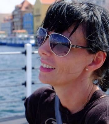
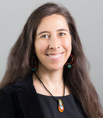
Annita Lucchesi
Executive Director
Sovereign Bodies Institute
Gregor MacLennan
Technology Manager
Digital Democracy
Amber McCullum
Capacity Building Specialist
NASA Ames Research Center
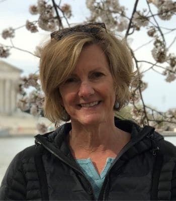
Tamara Rounce
Senior Geomatics Analysis Specialist
Agriculture Agri-Food Canada

Dr. Rachel Olson
Director
The Firelight Group
Tara Rush
Admin Business Partner
Google Canada
Dr. Stephanis Russo Carroll
Assistant Professor; Associate Director, Native Nations Institute
University of Arizona
Susie Saliola
Education Research Analyst
Esri Canada
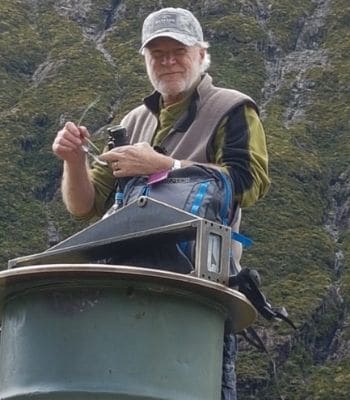
Cindy Schmidt
Associate Program Manager
NASA Research Centre

Raleigh Seamster
Senior Program Manager
Google Earth Outreach

Lauren Tekano
GIS Specialist
The Firelight Group
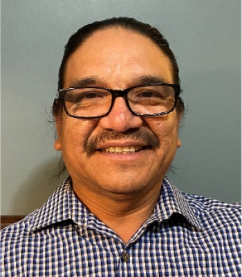
Leonard Tipewan
Executive Director
SALT
Jonathan Van Dusen
Higher Education Developer/Analyst
Esri Canada
The Indigenous Mapping Workshop is proud to present our team of mapping and GIS trainers. Our trainers are industry professionals who work with geospatial technologies on a daily basis. Whether you are a seasoned expert or a newcomer, our trainers are here to guide you. Stay tuned for more trainers that will be added in the upcoming weeks!
#2020IMW
Day(s)
:
Hour(s)
:
Minute(s)
:
Second(s)
OUR PARTNERS
The #2020IMW is possible because of our generous partners.


Interested in Partnering?
SAY HELLO
Firelight
Xwmélch’tstn
Suite 612, 100 Park Royal
West Vancouver, British Columbia
V7T 1A2
info@indigenousmaps.com
(778) 851-0264